Praxis Popups is a mobile outreach initiative designed to expand access to life-saving health and social services for marginalized communities across Los Angeles County. This program meets high-risk populations where they are and simultaneously addresses three critical issues: opioid overdose, high uninsured rates, and lack of access to public benefits.
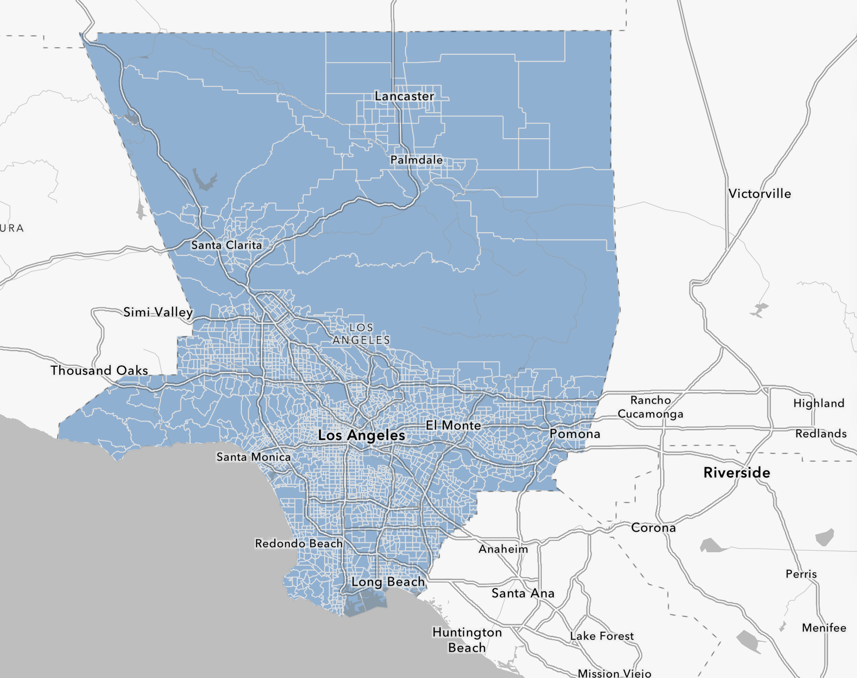
Guided by public health data from LA County, we identified neighborhoods experiencing overlapping burdens of uninsurance, poverty, and opioid-related mortality—each directly tied to a core service we offer. Within these areas, we selected 29 high-traffic sites across 11 regions, including transit hubs, parks, and service centers, to ensure maximum reach to residents facing systemic barriers to care.
By bringing essential services directly to the people who need them most, Praxis Popups will reduce preventable deaths, close care gaps, and advance health equity throughout Los Angeles County.
Determining Locations
LA County’s Health Insurance GIS tool was used to first select a list of neighborhoods with high uninsurance across the majority of the area, as well as high percent of individuals below the poverty line. Each tract was scored based on severity of the uninsurance rate from 1-5, with 5 representing the most severe. From here, we then looked at the overdose rates of each selected tract according to the Department of Public Health’s reports of accidental overdose due to varying drugs, prioritizing opioid overdose rates due to our ability to provide Narcan. Once again, each tract’s overdose rates were scored on the same scale as the uninsured rates were. We also added additional areas that showcased exceptionally high overdose rates, but not as severe uninsured rates. The final selection of neighborhoods scored at least a 3 on both uninsured and overdose rates, with the majority of them scoring 4 or 5.
Within each high-risk area, we then identified high foot-traffic locations—such as parks, service centers, libraries, and transit hubs by cross-referencing public infrastructure data, such as LA County’s Metro map, staff knowledge of community movement patterns, and past outreach activity records. While the Department of Public Health's reports of overdose were not detailed enough to pinpoint specific locations within each neighborhood, the LA County GIS showed uninsured rates of each block, allowing us to select sites that were as close as possible to areas with exceptionally high uninsured rates within each neighborhood. This allowed us to select sites for popups in places where we could reach the largest number of residents, including those less likely to engage with formal healthcare systems.